A Quicker Way to Stop Wildfires
New software provides ultra-real-time information from satellites.
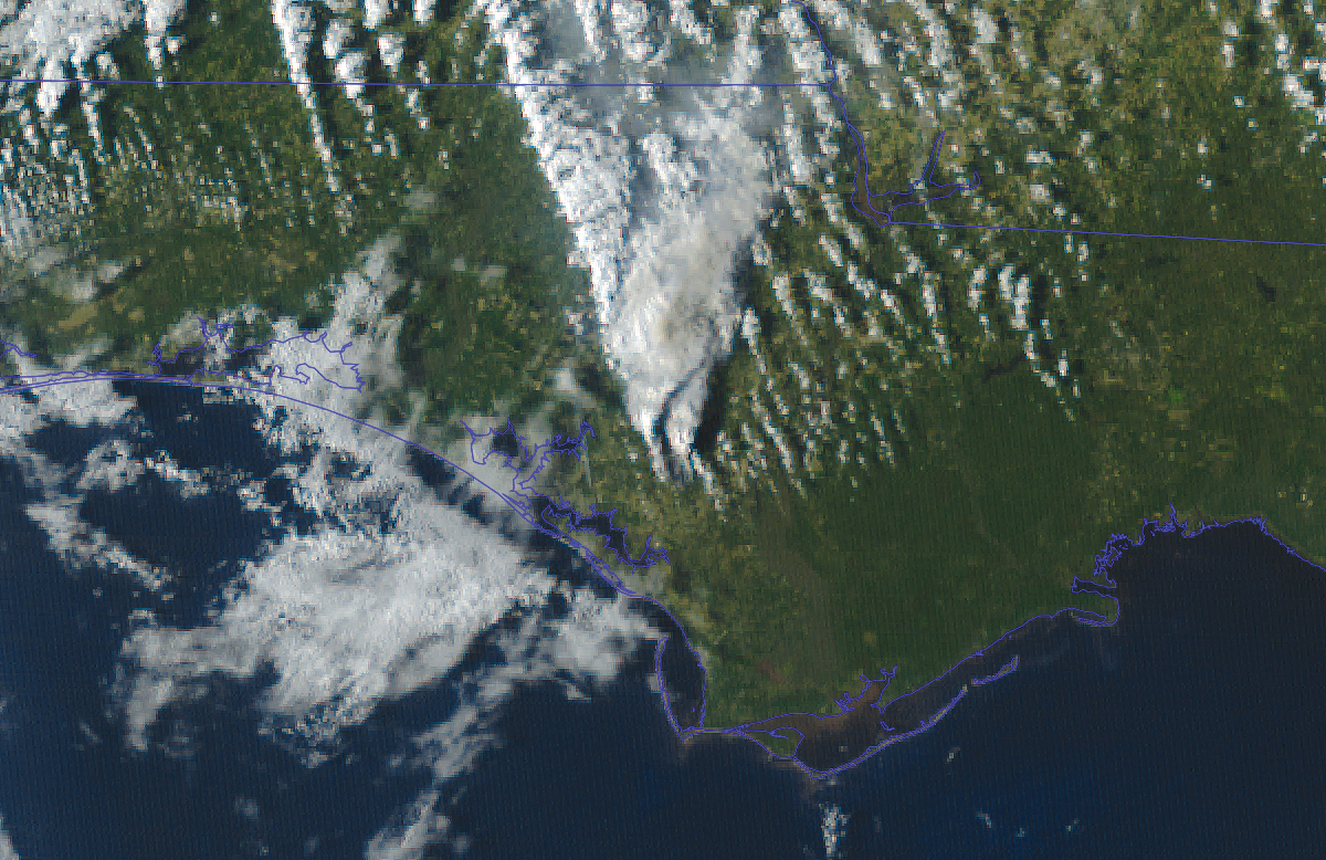
As a satellite orbits, onboard imaging sensors detect heat on the earth’s surface and transmit data to ground stations across North America. CIMSS
As temperatures climbed across the globe last summer, the frequency of heat-related natural disasters such as wildfires climbed as well. To get to these fires quickly and prevent further destruction, NASA’s Fire Information for Resource Management System distributes near-real-time satellite data about active blazes. Globally, data arrive at the ground in around three hours; however, in the United States and Canada, thanks to the UW Space Science and Engineering Center’s (SSEC) new software, ultra-real-time information is now available in under a minute.
In 2018, Liam Gumley MS’90, distinguished scientist at SSEC, issued a challenge to his team: how can we receive information within 60 seconds of the satellite observing a fire? “We’re very familiar with the technology and hardware that are on the satellite. And we’re also very familiar with the processing software that’s used to analyze the data,” says Gumley. “When we looked at that chain, we thought, ‘You know what? There’s really no reason we couldn’t be receiving, decoding, and processing continuously as the satellite’s flying overhead.’ ”
With internal funding and additional funds from NASA, Gumley, software engineers Steve Dutcher ’00 and Bruce Flynn ’06, and the rest of the team built the software and an optimized workflow.
As a satellite orbits, onboard imaging sensors detect heat on the earth’s surface and transmit data to ground stations across North America in ultra-real time. The software takes this data from multiple antennae, merges it, and removes duplicates in one streamlined process, allowing not only for speed but also reliable and usable information.
Gumley envisions further optimization for tactical use in fire prevention as well as increasing capabilities for remote satellite stations globally.
“SSEC is known worldwide as the birthplace of satellite meteorology,” Gumley says. “There’s a precedent for doing something with international cooperation, and sharing the data across borders, especially in [situations] where life and property are at risk.”
Published in the Spring 2023 issue
Comments
Steve Ackerman February 28, 2023
The WI Idea in Action! Well done.